- Preserving history since 1967

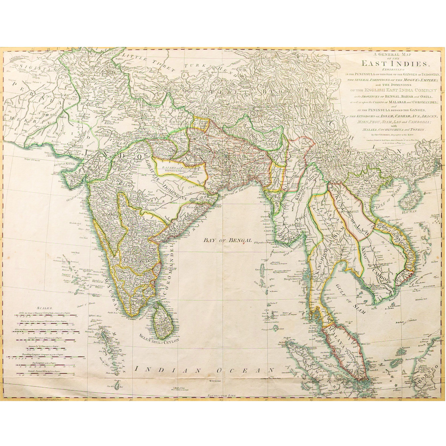
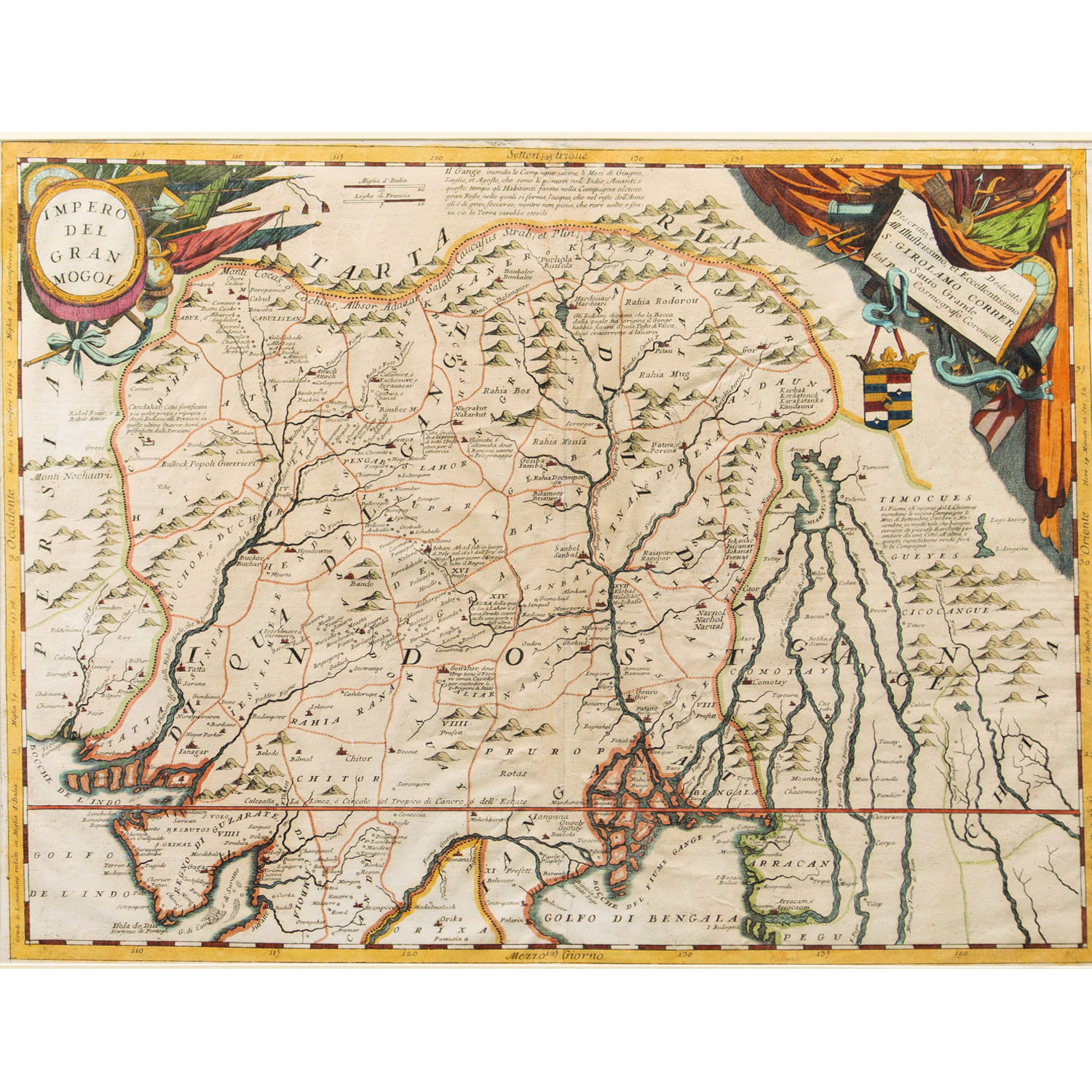
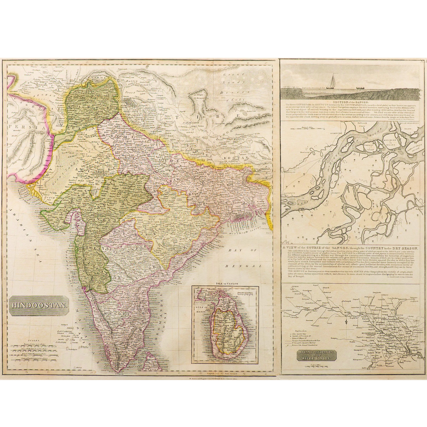
The map is exhibiting the peninsula on the side of the Ganges .The several Partition of the Mogul's empire and the dominions of the English east India company in the provinces or Bengal, Bihar and origamis well as upon the coasts of Malabar and Coromandel and in the peninsula beyond the Ganges. Scarce antique engraved coloured map of India and Southeast Asia, by Laurie and Whittle, and with information from James Rennell, published in London in 1794.
SIZE –23 x 26 in.
SHIPPING-Free shipping for all orders within India
Please contact us to know the latest price, availability and purchase details for this artwork.