- Preserving history since 1967

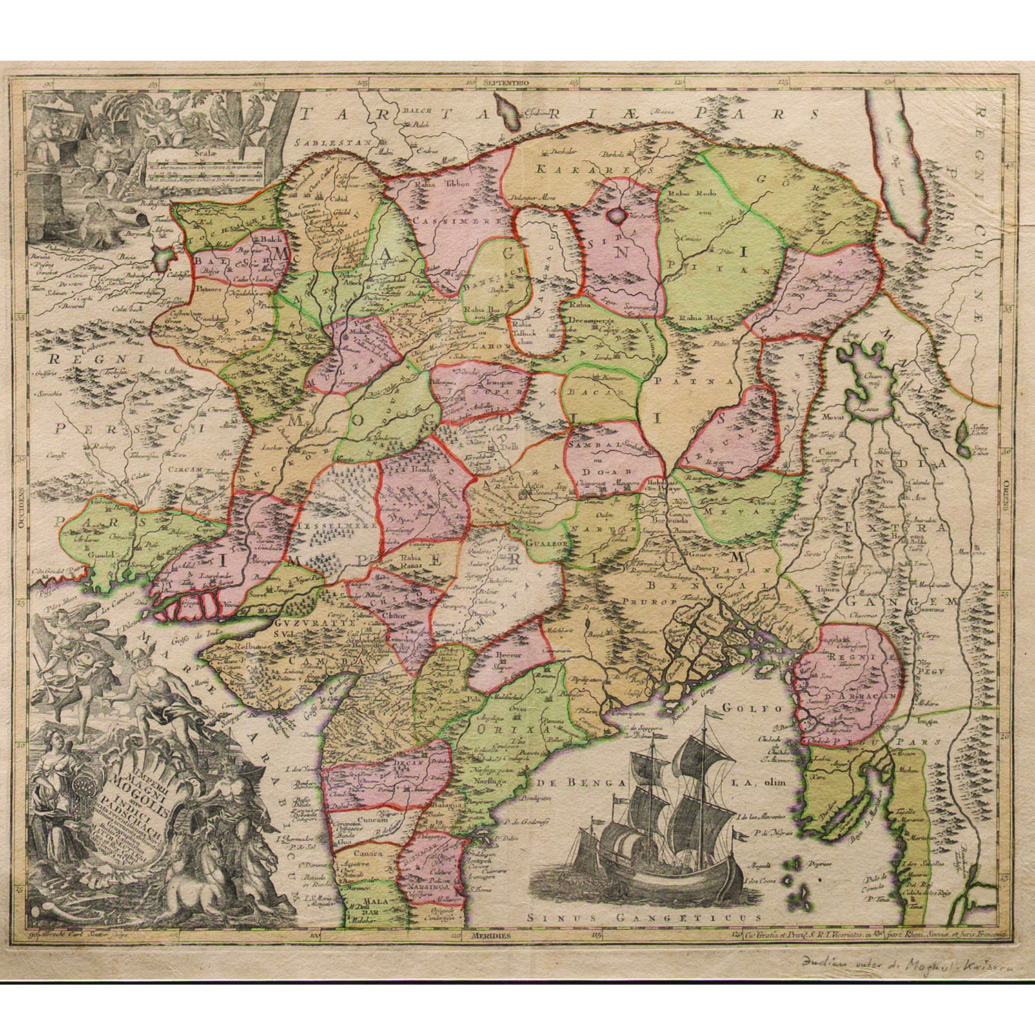
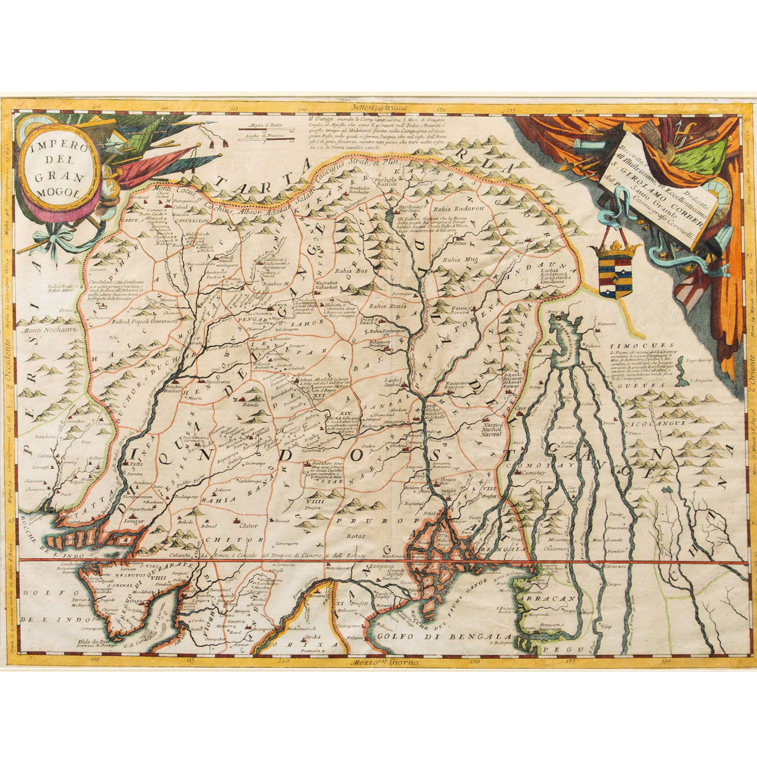
IMPERI MAGNI MOGOLIS" is a Latin title for a map of the Mughal Empire created by the 18th-century German cartographer MatthäusSeutter. The map, often titled ImperiiMagniMogolissiveIndiciPadschach, depicts the vast Indian subcontinent and parts of Central Asia at its height, around the late 17th century. The map shows the extent of the Mughal Empire, extending from Persia in the west to parts of Southeast Asia in the east, and from Tibet in the north to the Malabar Coast in the south. It includes cities like Delhi, Agra, and Lahore, as well as river systems and trade routes.
SIZE –21 x 24 in.
SHIPPING-Free shipping for all orders within India
Please contact us to know the latest price, availability and purchase details for this artwork.