- Preserving history since 1967

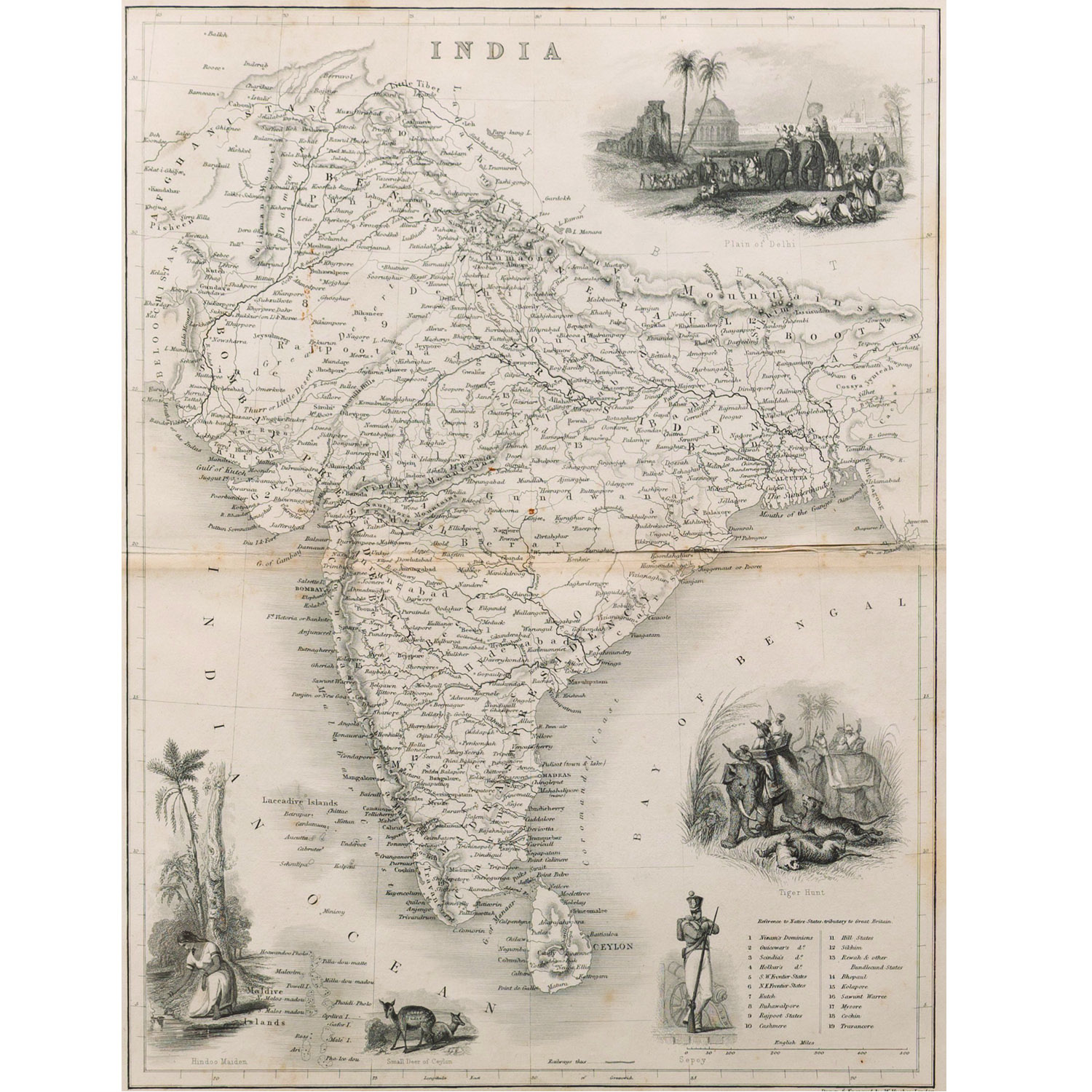
This is a large hand coloured engraved map of India with decorative border by A K Johnston, drawn in 1860-62. It showcases political and administrative divisions of India under the British Empire, as well as showing capital cities.
SIZE –24 x 21 in.
YEAR – 1860-62
SHIPPING-Free shipping for all orders within India
Please contact us to know the latest price, availability and purchase details for this artwork.