- Preserving history since 1967

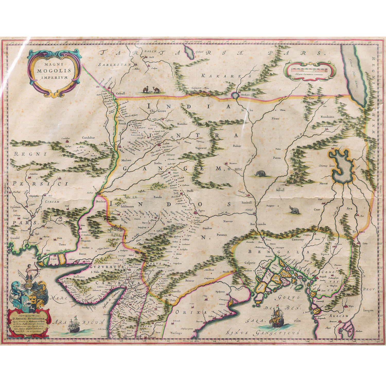
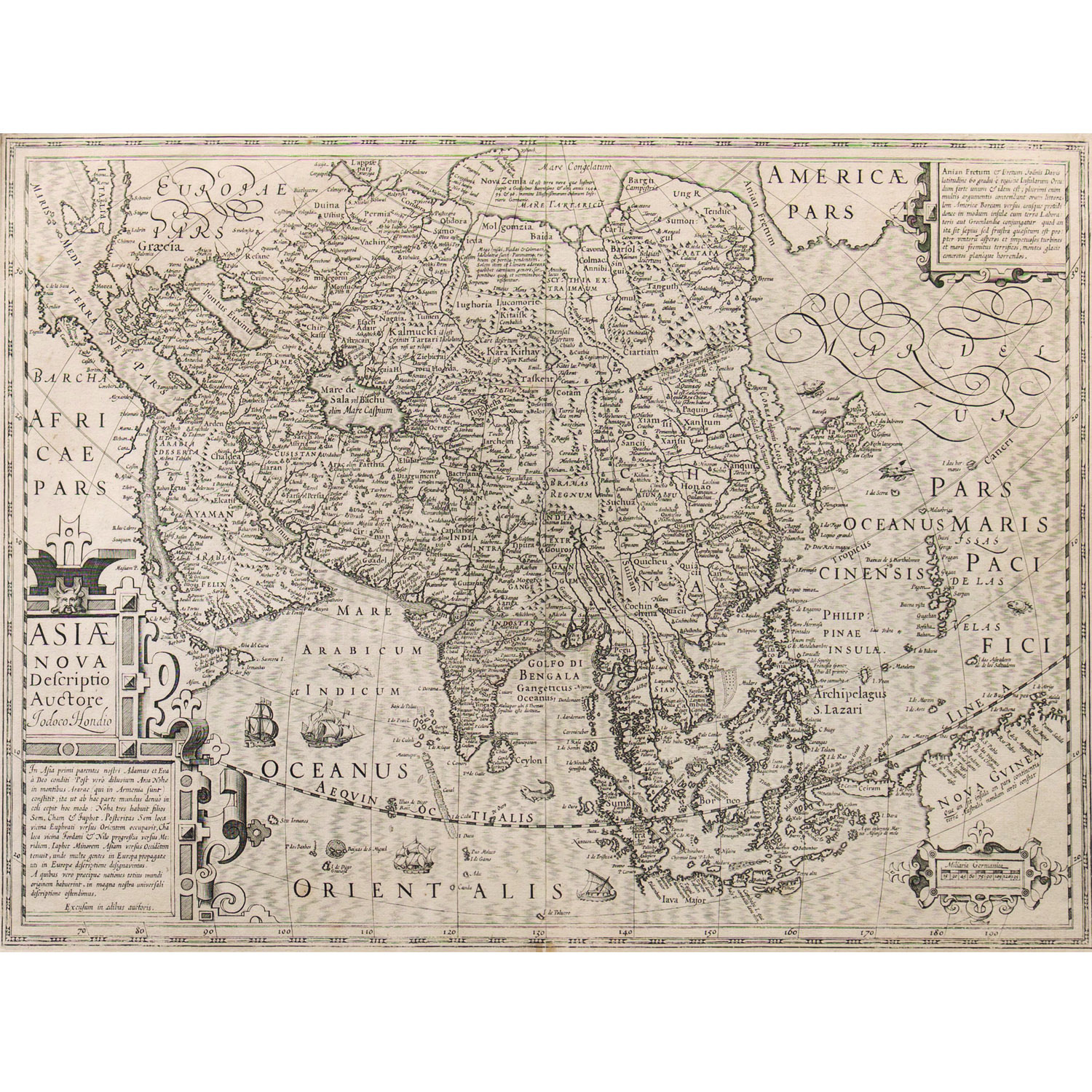
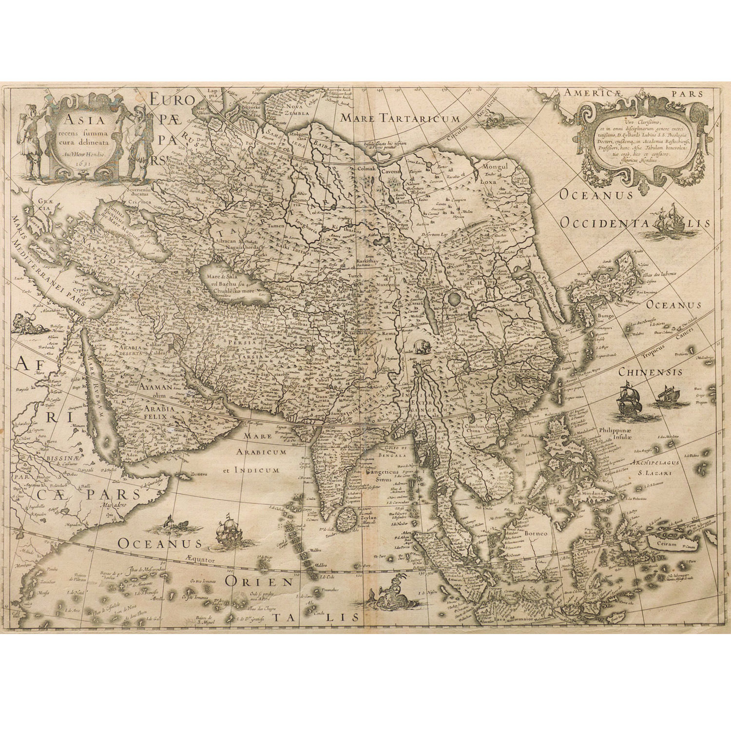
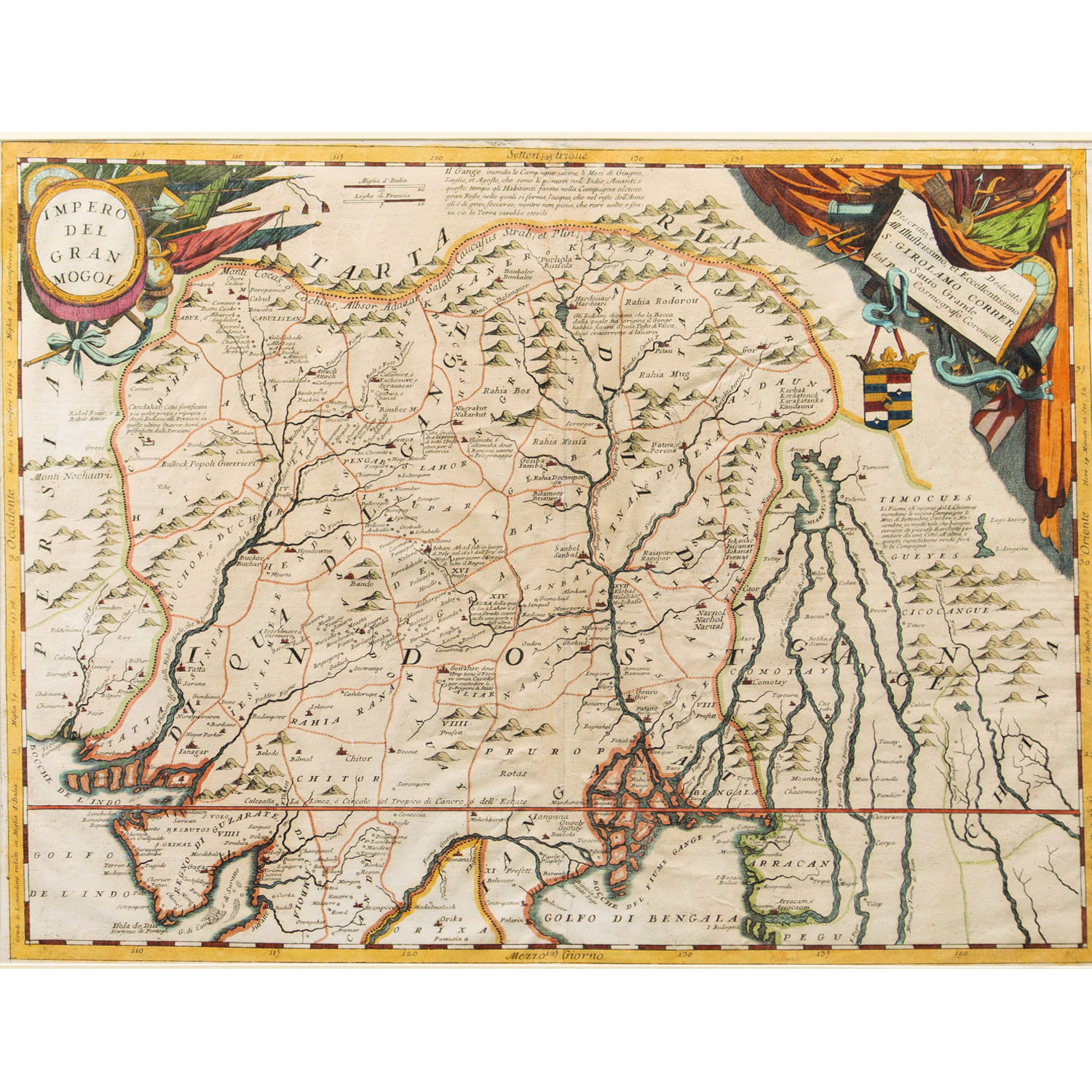
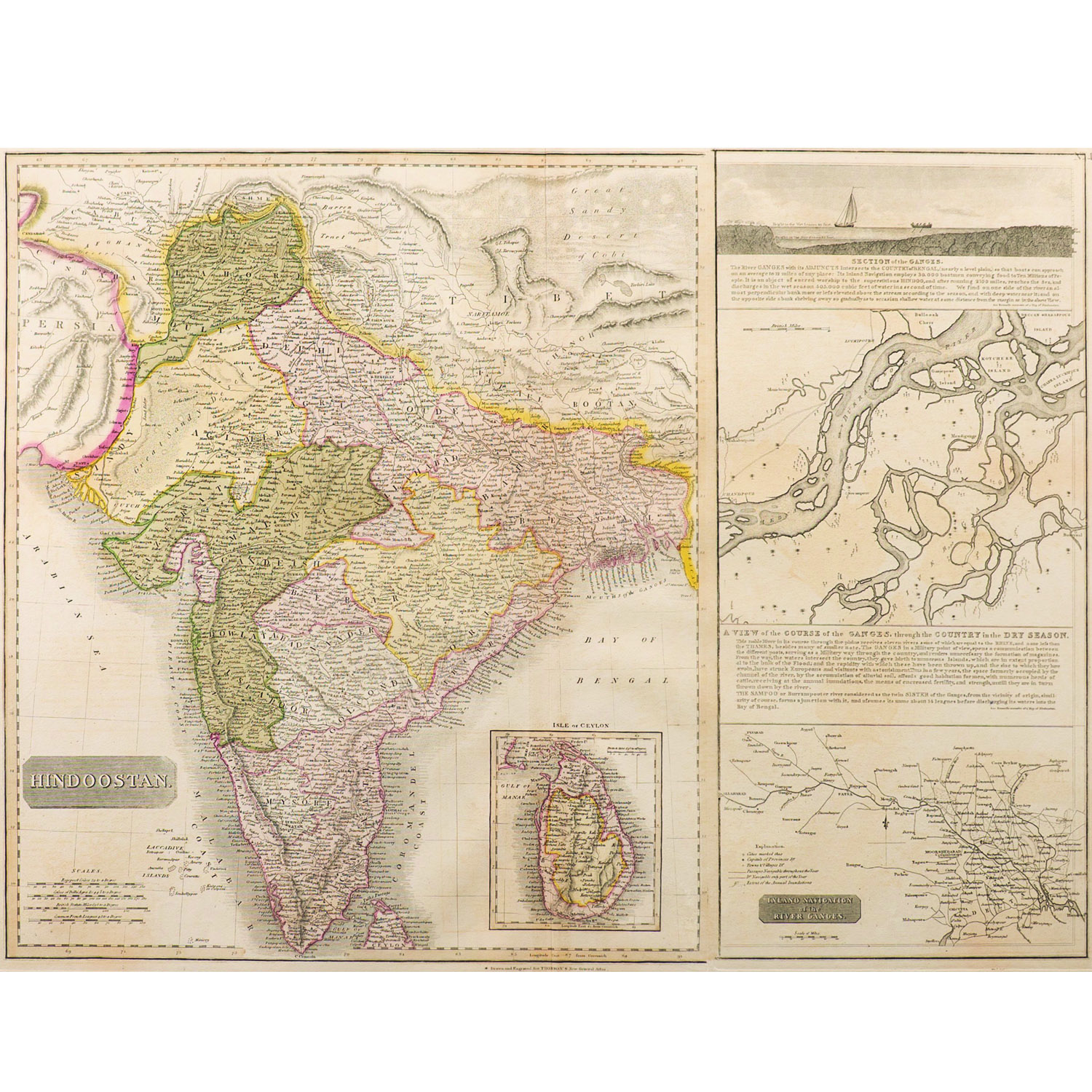
MagniMogolis Imperium" is Latin for the Mughal Empire, which refers to a 17th-century map depicting the vast territory of the Mughal Empire in the Indian subcontinent and surrounding regions. These maps, created by cartographer Joan Blaeu, show provinces, major cities, and geographical features of the empire at the time. The maps are known for their detailed cartography, often decorated with illustrations of animals like elephants and lions, and cartouches featuring rulers and their ancestors.
SIZE –18 x 21 in.
SHIPPING-Free shipping for all orders within India
Please contact us to know the latest price, availability and purchase details for this artwork.